Geostationaariset:
Naparatasatelliitit:
Himawari

Operaattori: Japanin meteorologinen laitos.
Käyttöönottopäivämäärä: 02/2005 (MTSAT-1R), 02/2006 (MTSAT-2)
Kiertoradan tyyppi: Geostationaariset
Sijainti: 145°E
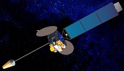
Mittalaite: radiometri
Radiometri skannaa maanpinnan linjoittain; jokainen linja koostuu kuvaelementtien tai pikseleiden sarjoista. Radiometri mittaa jokaisen pikselin säteilyenergian eri spektrien alueilta. Mittaus koodataan digitaaliseksi ja siirretään maa-asemalle esikäsittelyyn ennen kuin se levitetään käyttäjille.
| Kanava | Aallonpituus (µm) |
| VIS | 0.55 - 0.80 |
| IR1 | 10.3 - 11.3 |
| IR2 | 11.5 - 12.5 |
| IR3 | 6.5 - 7.0 |
| IR4 | 3.5 - 4.0 |
Geostationaariset:
Naparatasatelliitit: